So, we are working on American this year in our education: artists, geography, history sentences. We work with a group called Classical Conversations (more about CC another time) and we are working on Cycle 3: American. It is great to have a collective topic to learn and this is our second time through it, so we are adding in more and more background.
My boys learn best using kinesthetic methods (a fancy word for hands-on), so I tried to think of some things we could do to help them learn better. I came up with salt dough maps.
The recipe is easy: 1/2-3/4 cup water, 1 cup salt, 1 cup flour. (I used the cheapest flour & salt the store had since we won’t be eating it.) Mix in a big bowl–tada! It is done. 🙂
Following along with our American theme, we have been learning US geography. Our boys have learned the states and capitals as well as the major rivers, mountains, and prominent features. Go ahead, ask me where Mt. Mitchell is or where Pamlico Sound is. I am learning right along with them this year! The last time we went through this cycle was our first CC year, and I was a bit overwhelmed with three little ones and #4 on the way. This time I am taking advantage of their learning to learn it for myself. 🙂
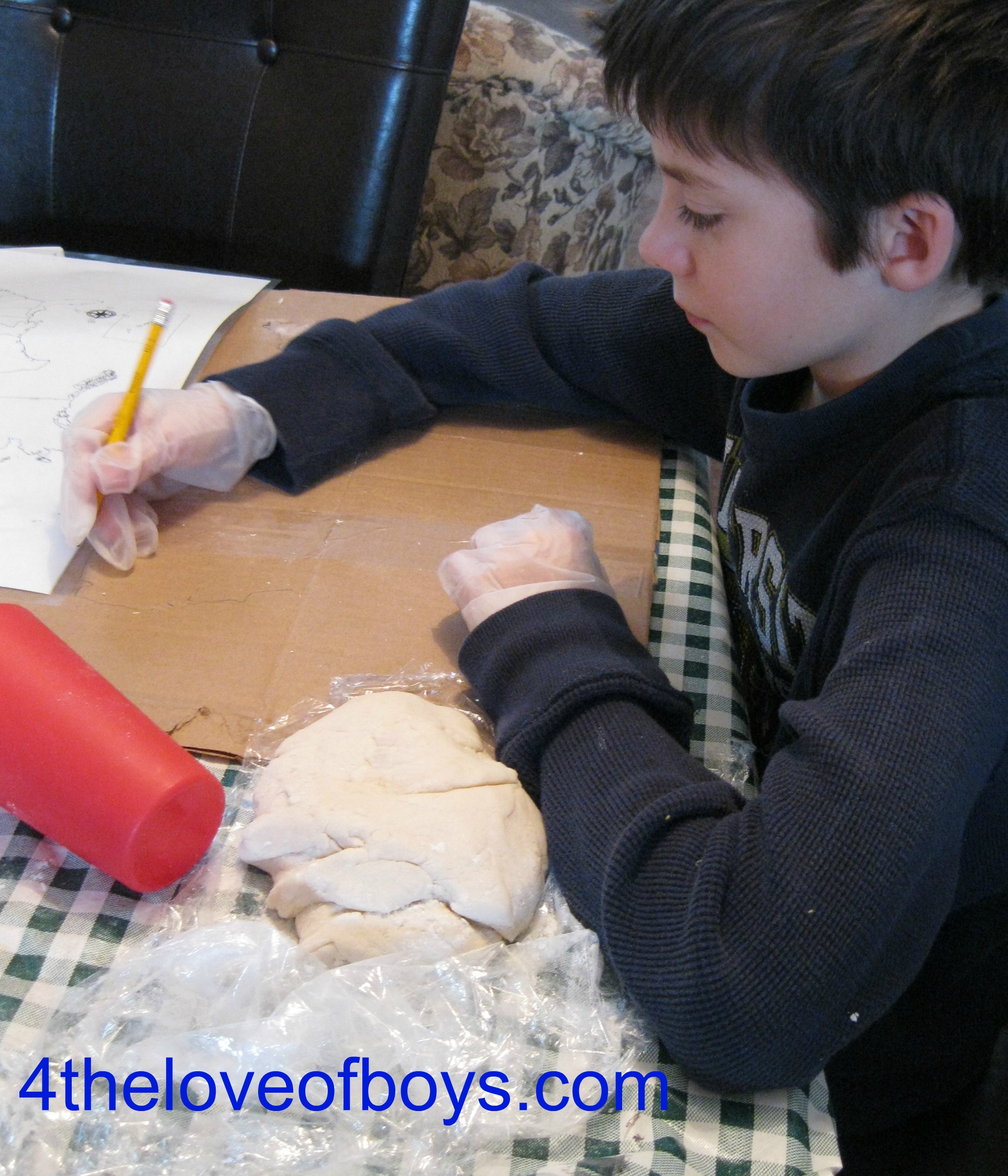
So, yesterday we made the United States from salt dough. Each boy used a batch for themselves and then a batch split for the mountains. Cowboy made little balls and connected them, but Engineer just made “hot dogs” on top. They decided this time they would not draw the states with a toothpick. I was hoping at least someone would, but I did say that they could do it how they liked: adding states, mountains, rivers, trails, Great Lakes, and other features. We were able to talk about each state as we talked about the placement of the mountains. (Note to Moms: you must draw in the States, if you choose to or add the mountains BEFORE the dough dries unless you want to just paint them.) My Engineer starting by drawing a map & the others soon followed his lead.

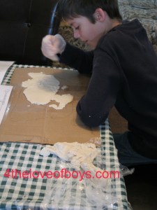
The boys found working adding dough around the edges & then working inward toward the center worked best. Maine was hardest!
We will add those features we have not yet covered as we do cover them in class. This has been a good review for us and we will get to review again as we add trails and deserts, prominent features and canals. We will use colors to differentiate locations/features as well as sticking on labels the boys make.
Here the Farmer is adding the space between Florida and Texas. I hope all those states will forgive us for recreating their borders!
Children learn in different ways. My four boys all seem to like to do things with their hands, so this is one way we can do that. We have a ways to go before these are completed but I thought I would share what we are doing to review and create a more hands-on way to learn.

Here the Engineer slowly adds states and the Farmer and Cowboy use toothpicks to get the edges “right.” We also used flat cups for rolling pins. Be sure your dough is not too thin as it will crack apart.
Here are our finished products for today:
-

- The Engineer’s Map
-

- The Farmer’s Map
-
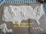
- The Cowboy’s Map
We will paint and add to our maps but I thought this was a pretty good start! 🙂
Love Your Boys (no matter how they learn)! Blessings as we all continue to grow.
P.S. I know that sometimes we like to do review weeks (other than at the 6 week breaks) so I am adding this to the Halfahundredacrewood link-up page so others might use the idea. Enjoy!
